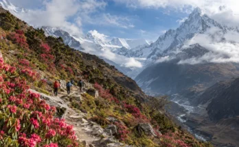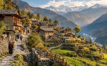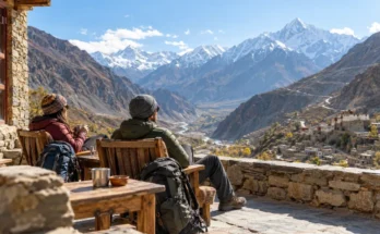
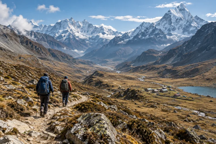
Everest Base Camp, the Annapurna Circuit, and a handful of famous Himalayan routes dominate conversations about trekking in Asia. They are spectacular, but they represent only a small part of what the continent’s mountain regions offer.
Travel farther into Central Asia, eastern Nepal, Bhutan, or lesser-known Himalayan valleys and the experience changes quickly.
Trails may be quieter, villages farther apart, wayfinding less obvious, and accomodation more limited. That makes the journey feel more adventurous, but it also means planning matters much more.
Designing multi-day mountain routes beyond popular Asian treks is not simply about finding somewhere with fewer hikers. The best routes balance scenery, altitude, access, food, water, weather, cultural interest, and realistic exit options.
A remote trail can be unforgettable when those pieces fit together. Without them, an ambitious itinerary can become unnecessarily difficult.
The goal is not to make trekking more extreme. It is to build mountain journeys that feel independent, immersive, and challenging without turning every day into a logistical problem.
Look Beyond Famous Trails, Not Beyond Your Ability
“Off the beaten path” sounds attractive until it means no bridge, no phone signal, and no clear idea where the next water source is.
The smartest lesser-known trek is not automatically the most remote one.
Start by comparing your experience with the route’s actual demands. Consider total elevation gain, highest sleeping altitude, river crossings, navigation difficulty, camping requirements, resupply options, and how quickly you could reach help if something went wrong.
Nepal offers a good example. The Nepal Tourism Board notes that Everest and Annapurna remain among the country’s established trekking regions, while Kanchenjunga, Dolpo, and sections of the Great Himalayan Trail provide alternatives farther from the main tourist circuits.
Some remote areas, however, require additional permits and can be significantly harder to access.
Quieter should mean better suited to your travel style, not simply more dangerous.
Choose the Right Route Shape Before Choosing the Trail
Multi-day routes generally work in three ways: loops, point-to-point traverses, or out-and-back journeys.
Loops are often easiest for independent planning because you can leave unnecessary luggage at one base and return to the same town. Point-to-point traverses feel more adventurous because the landscape constantly changes, but transportation at both ends becomes more important.
Out-and-back routes can work well when a major lake, pass, monastery, or base camp is the clear objective.
Before becoming emotionally attached to a trek, draw the route on a map and identify where you will sleep every night.
Then ask a simple question: if weather blocks tomorrow’s pass, what happens?
A good mountain itinerary usually contains at least one realistic alternative rather than depending on everything going perfectly.
Jyrgalan Is a Great Introduction to Quieter Tian Shan Trekking
Eastern Kyrgyzstan is one of the easiest regions in Asia for experimenting with lesser-known multi-day routes.
Jyrgalan Valley sits in the Tian Shan east of Karakol and has developed into a community-based trekking hub with routes leaving directly from the village. Local trail information lists several multi-day options ranging from roughly three to nine days.
The Boz-Uchuk Lakes route, for example, is listed at around 46 kilometres over three days, reaching approximately 3,471 metres. The Kesenkiya Loop covers roughly 53 kilometres over four days, while the longer Ak-Suu Transverse stretches about 115 kilometres over nine days.
Those numbers are useful because they demonstrate why distance alone is misleading.
Fifteen kilometres over flat ground can be easy. Fifteen kilometres involving a 3,500-metre pass, river crossing, loose terrain, and a loaded backpack is a completely different day.
Jyrgalan works especially well because trekkers can start small and build toward longer traverses.
The Fann Mountains Reward Self-Contained Planning
Tajikistan’s Fann Mountains provide another excellent step beyond heavily commercialized trekking regions.
Located between major Central Asian ranges, the area combines turquoise lakes, glaciers, rocky passes, valleys, and relatively accessible trailheads.
Tajikistan’s official tourism information recommends Penjikent as a practical base for reaching the region and stocking up before trekking.
That last detail matters.
Remote mountain planning often begins in town, not on the trail.
Before departure, identify where you will buy fuel, food, maps, SIM access, and any specialist equipment. Work out whether villages along the route reliably sell supplies or whether you need to carry several days of food.
The Fann Mountains are ideal for multi-day combinations because lakes and passes can be linked into different itineraries rather than forcing every traveler onto one standard route.
That flexibility is exactly what makes lesser-known mountain regions so appealing.
Bhutan Shows Why Historic Trails Can Be Modular
Remote trekking does not always have to mean camping deep in wilderness.
Bhutan’s restored Trans Bhutan Trail offers a different model. The full historic route runs more than 400 kilometres from Haa in western Bhutan to Trashigang in the east, crossing valleys, forests, mountain passes, settlements, monasteries, and agricultural landscapes.
Bhutan Tourism says completing the entire trail can take around a month.
Very few travelers need to walk all of it.
The route is highly modular, allowing shorter sections to be combined around available time and fitness.
That is a useful lesson for planning anywhere in Asia.
Do not assume a famous long trail must be completed in its entirety. A well-chosen four- or six-day section can provide the best scenery and cultural experience without turning the trip into an endurance project.
Sometimes the most advanced planning decision is deciding where to stop.
Remote Nepal Requires More Than Fitness
Nepal remains one of Asia’s greatest trekking destinations, but moving beyond established routes changes the logistical equation.
Kanchenjunga and Dolpo offer dramatic alternatives to the busiest Himalayan circuits, yet access, permits, guiding rules, rescue options, and accomodation can become more complicated.
Current Nepal Tourism Board guidance states that specific protected trekking areas require licensed guides and agency-issued TIMS documentation, including routes in regions such as Kanchenjunga.
This is why researching regulations should happen before booking flights.
A route that appears perfect on a trekking map may involve restricted-area rules, conservation fees, guide requirements, or limited entry points.
Remote Nepal also highlights another reality: physical fitness does not replace logistics.
You may be able to hike 20 kilometres comfortably at home and still struggle if the route adds altitude, poor sleep, cold temperatures, and several consecutive days of climbing.
Plan Elevation Before Daily Distance
For high routes, your altitude profile matters more than your kilometre total.
The CDC advises gradual ascent because travelers sleeping above roughly 2,750 metres can be at risk of altitude illness.
Once above about 3,000 metres, guidance recommends limiting increases in sleeping altitude to around 500 metres per day and adding an extra acclimatization day for every additional 1,000 metres of sleeping elevation gained.
This can completely change a route plan.
Suppose one itinerary offers an eight-kilometre day but moves your camp 900 metres higher. Another involves 14 kilometres but ends only 300 metres above the previous night.
The longer day may actually be the more sensible altitude schedule.
Build the trek around where you sleep, not just how far you walk.
And if symptoms worsen at altitude, continuing upward simply because the itinerary says so is never worth it.
Calculate Food, Water, and Shelter Before Pack Weight
People often ask how light their backpack should be before deciding what the route actually requires.
Reverse that process.
First calculate how many days of food you need between reliable resupply points. Identify water sources and whether treatment is necessary. Confirm whether sleeping will involve guesthouses, yurts, homestays, or full camping equipment.
Only then optimize weight.
Carrying an ultralight pack is useful, but not if it achieves that number by removing equipment you genuinely need.
Likewise, avoid assuming every village marked on a map has a functioning shop.
Remote settlements can have limited seasonal supplies, and what is available one year may not be available the next.
Confirm locally whenever possible.
Add Weather Days Before Adding Extra Destinations
Mountain weather can ruin aggressive schedules very quickly.
A pass may be technically easy but unpleasant or unsafe during thunderstorms, snowfall, strong winds, or poor visibility. Rivers can also change significantly after rain or snowmelt.
This is where buffer days become valuable.
For a five-day trek, adding one flexibile day outside the mountains may be enough. Longer or more remote routes often justify additional spare time, particularly when your onward transportation involves a flight or long road connection.
Do not finish an isolated trek on Tuesday afternoon and schedule an international flight Tuesday night.
Leave space for the mountain to disagree with your calendar.
Use Local Knowledge Even When Trekking Independently
Independent trekking does not mean refusing help.
Guesthouse owners, guides, shepherds, park staff, and local tourism organizations often know about temporary hazards that maps cannot show: washed-out bridges, changing river crossings, snow remaining on passes, or a campsite losing access to water.
Jyrgalan’s local trekking information, for example, specifically advises checking the condition of a river bridge before attempting one of its multi-day lake routes.
That kind of detail can save hours of frustration.
Use digital maps and GPS tracks, but never treat them as perfect representations of current conditions.
Mountain routes are dynamic.
The trail you downloaded six months ago may not be the trail people are using today.
Planning multi-day mountain routes beyond popular Asian treks is less about searching for the most isolated trail and more about building a journey that works when conditions are imperfect.
Jyrgalan offers manageable Tian Shan routes with strong community support, Tajikistan’s Fann Mountains reward flexible self-contained itineraries, and Bhutan’s long-distance trail demonstrates how historic routes can be explored in shorter sections.
Nepal provides even deeper wilderness options, but with more complex permits, altitude, and rescue considerations.
The smartest approach is simple: study elevation before distance, confirm resupply and water, understand local regulations, and build buffer time into the itinerary.
Choose a trail because its landscape, difficulty, and culture fit your experience – not simply because fewer people have posted about it. That is usually where the best mountain journeys begin.